
For many of us, heavy, unrelenting rain is the first thing that comes to mind when we think about flooding. But flood risk depends on factors beyond precipitation, such as terrain, land cover, soil makeup, local infrastructure, storm surges, and tides.
What causes flooding is complex, which can make it challenging to get the full picture of flood risk where you live. Understanding flood risk is the first step towards avoiding damage and adapting to shifting precipitation patterns as our climate changes.
What is flood risk?
Flood risk describes the probability or likelihood of flooding and the scale of damage from a flooding event. Climate change is increasing climate risk, the potential harm to human or natural systems resulting from exposure to weather events. Flooding, the overflow of water submerging land that is usually dry, is one of these weather events.
The severity of a climate risk depends on the exposure that a person, place, community, or system has to a weather event and how vulnerable or prepared they are for that specific event. When we try to predict flood risk, we examine the many factors that contribute to flooding and how vulnerable or prepared a place is for flooding.
What causes flooding?
Flooding happens when there is more water on land than can drain or filter through the surface. There are three types of common flooding events: pluvial, fluvial, and coastal.
Pluvial flooding describes flooding triggered by extreme or intense rainfall and is by far the most common type of flooding event.

Fluvial flooding describes flooding that occurs when river water overflows its banks.
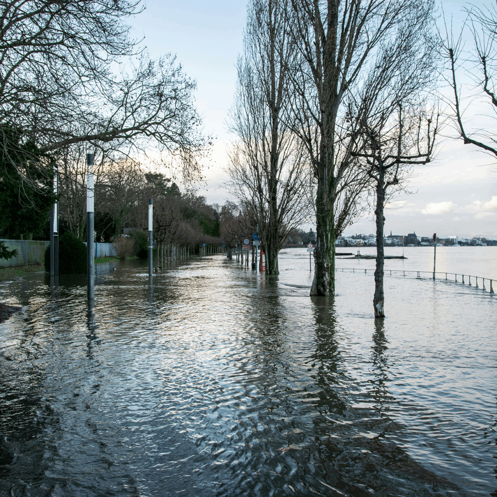
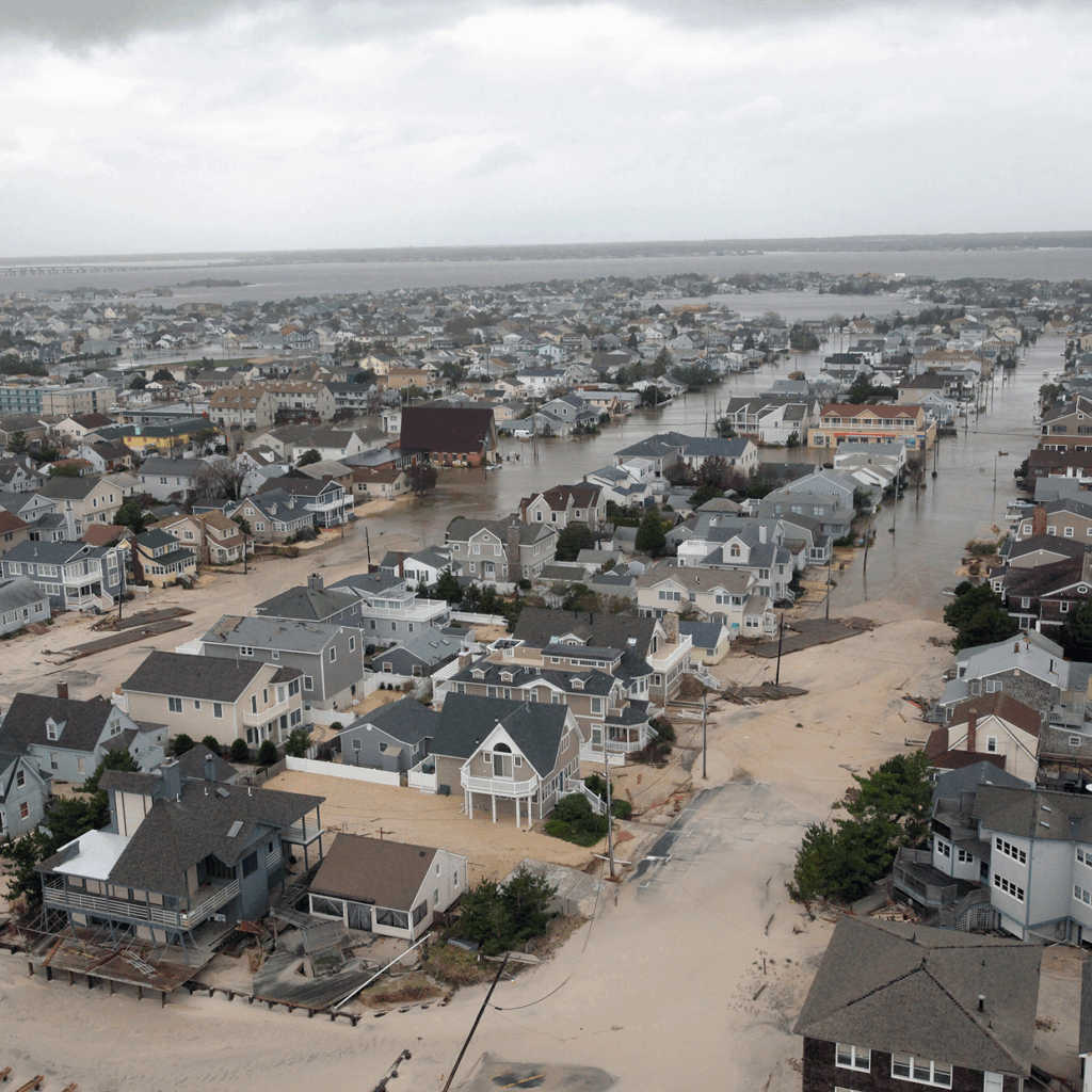
Coastal flooding describes flooding that occurs when seawater pushes into coastal land because of tides or storm surges.
Any factor that impacts the quantity of water on land or the land’s drainage capacity influences flood severity. These factors include the size and type of body of water in a place, the local floodplain, the built environment and infrastructure, and the intensity and duration of precipitation.
For example, an extreme rainstorm can increase the volume of a river, causing local fluvial flooding when the river overflows its banks. A powerful storm surge can do the same with the ocean, pushing water inland. On land, heavy rainfall on dry or saturated soil and paved surfaces can trigger pluvial flooding. Multiple types of flooding can occur simultaneously, like when a storm surge in the ocean pushes seawater back into a river, causing it to overflow.
How is flood risk changing?
Humans have contributed to growing flood risk by changing global weather patterns via industrial activity and altering the environments we live in.
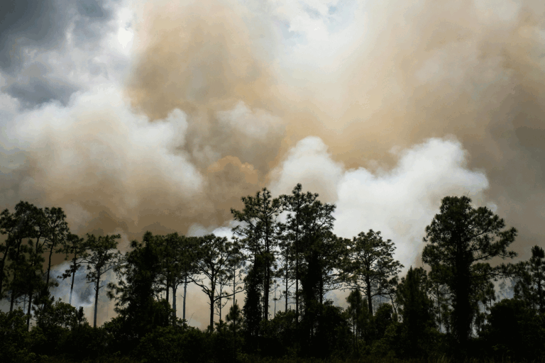
Higher global average temperatures are making the oceans and the atmosphere hotter, contributing to extreme and erratic precipitation and global sea level rise. As global temperatures rise, our atmosphere can hold more moisture for longer periods of time (7% more moisture for every 1°C in temperature increase). Also, warmer ocean temperatures are evaporating water into the atmosphere at a higher rate. This warm, saturated atmosphere is leading to more erratic precipitation patterns and larger and more violent storms. Higher global temperatures are also contributing to rising sea levels along coastlines, increasing the risk of coastal flooding.
Higher global average temperatures are making the oceans and the atmosphere hotter, contributing to extreme and erratic precipitation and global sea level rise.
The environments we live in are often unprepared for these changes. When previously an area might have been able to dispense with increased precipitation in wetlands, soil, or vegetation, now our built environment lacks places for water to drain or run off. Impermeable surfaces like concrete prevent the ground from absorbing water, while structures that hold in water like levees and dams can overflow and break under the strain of intensifying rainfall patterns. City storm sewers designed for out-of-date precipitation norms can fail and contribute to urban flooding.
At the same time, we have increasingly moved to risky areas, like floodplains, that regularly experience flooding events. These trends are combining to amplify flood risk, sometimes in ways that are hard to parse or predict.
Measuring and predicting flood risk
Because flooding depends on specific local conditions like the quantity of water and the drainage capacity of the environment, measuring and predicting flood risk is different from measuring or predicting rainfall.
When scientists project local flood risk, they run models that simulate an array of factors from the potential extremes of precipitation to land cover, stormwater infrastructure like sewers and canals, soil attributes, terrain and elevation, and local buildings. Together, the model creates an impression of how much water will be in a flooding event, how likely that event is, and where that water might stand.
The results of models like these are useful, but imperfect because they depend on so many variables. For locals, using projections as guidance for flood risk trends in their area can help to minimize damage or harm from flooding.
How can we minimize flood risk?
Flood risk depends in part on local climate adaptation which can help communities minimize their flood risk. While we can’t control a precipitation event, the better equipped an area is to move or drain standing water, the less harm flooding causes.
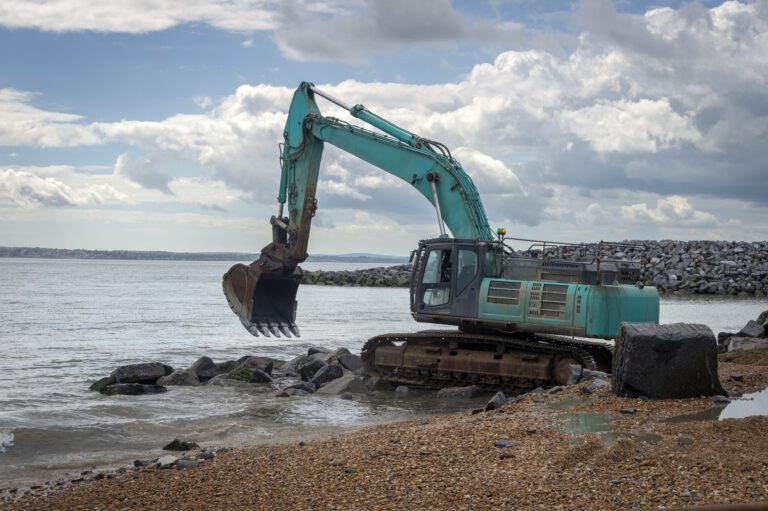
Conversely, the less prepared an area is for water, the greater the damage from a flooding event. Adaptive measures to flooding can be preventative, like avoiding construction on a flood plain, or reactive, like restoring local wetlands to absorb and retain water or updating storm sewer capacity. These actions can be undertaken at the individual, community, and government levels.
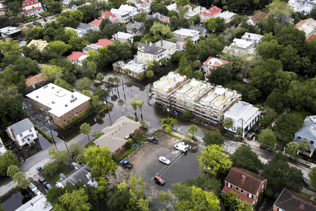

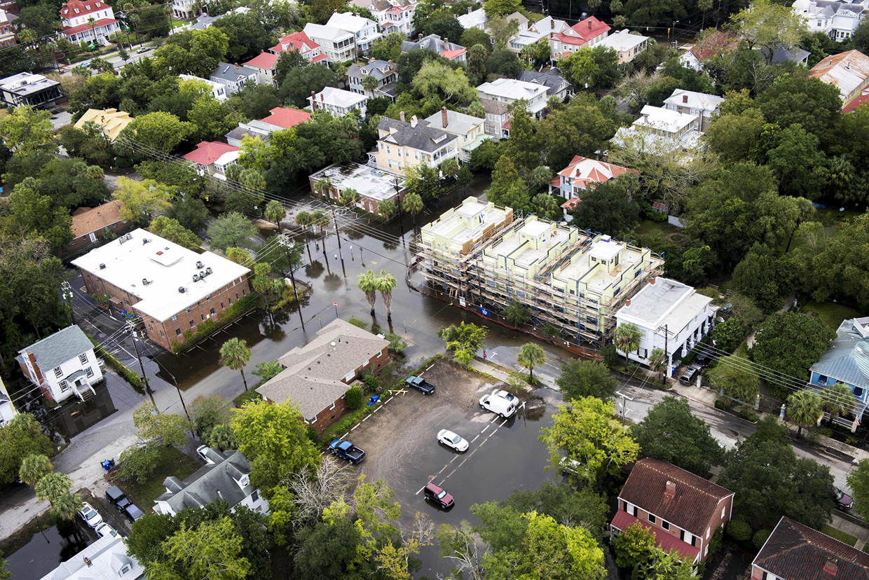
For example, in Charleston, South Carolina, city development that replaced wetlands with paved surfaces and failed to account for sea level rise created regular tidal flooding because drainage was poor. On the other hand, the city of Rotterdam has succeeded in managing pluvial flooding with water storage and management solutions including networks of vegetation and water to absorb and channel excess rain and green roofs to absorb rainwater.
By anticipating extreme precipitation events and adjusting those factors we can control in our built environment, we can help conduct water to less damaging places and preserve homes, ecosystems, and infrastructure.
Was this article helpful?
Thank you. Your feedback helps us improve.